

The packing took some time this morning.

The hotel was almost next to the rail line and the Cedar Valley River Trail and we were off to a cold, wet start. We soon stopped to put on another layer of clothes.

We were still on track.

This tree stump is a summary of all the tree damage we have seen along the Trail. The 2020-Dericho was devastating. But coming back!
 We cycled a well-marked and maintained urban trail from Cedar Rapids to Haiwatha. Along the way Christine shot (a picture of) this young ram.
  Soon after this town sign, we left the urban area and
we were on a long,

long straight section of the Trail. We had a couple of rainy periods, but it was the wind from the North-east coming straight into our right shoulders, that cooled us off quite a bit.
The trail is in great shape and we passed two trail crews doing maintenance work.
 We came to Lafayette and had to stop for a photo - not really to show the pleasing finish of the concrete facing, but of the turn in the Trail.
The maintenance depot at Lafayette had this interesting gate.

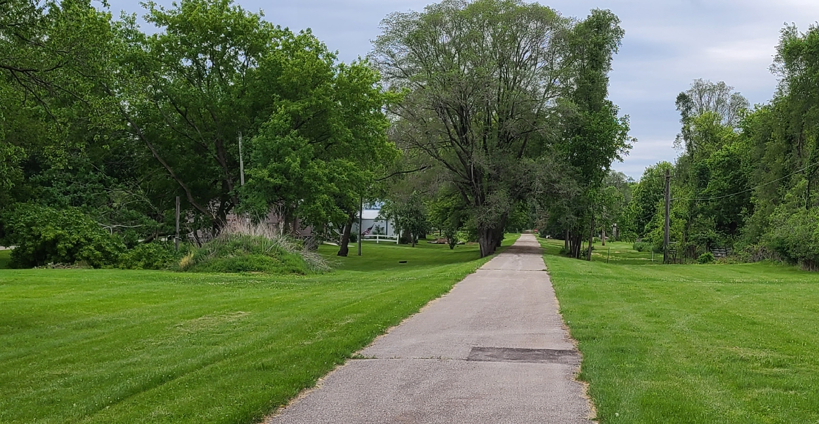
The Trail was still straight but had the occasional turns.

A typical bridge crossing along this section.

And the trail remained beautiful.

By the time we reached Center Point we were really cold and stopped at Joensy's for some of the best breaded Pork Tenderloin we tasted. The coffee was great and I had to try a Kolaches. This is a locally made cookie. We loved the dough and the apple topping - so much better than the overly sweet coookies you sometimes get in stores.

Outside Center Point we cycled past a sign post announcig a trail closure to allow paving of the the 6 miles of trail to the next town, Urbana.

We passed this work crew redoing the approaches to the underpass of the I-380 in the background.

All the while we were wondering why this trail requires paving, It has a perfectly good crushed limestone surface - the same as that of the Allegheny Trail between Cumberland and Pittsburgh.

The only thing we could think of was that the rain softened the surface a bit and that pedalling has become harder. This said, we still easily maintained speeds around 8-9 miles an hour in between the photo stops. 🤗🤗🤗
We did not encounter other construction work and soon passed Urbana.

When I planned out the route, I noted these strange "dog's legs" in the Trail. It is obvious that the rail line went straight and something else caused these deviations. I stopped at the northern end and took the following pictures towards the south-eastern direction towards Urbana.

I took this in the direction of the rail line towards the clump of trees on the horizon.

When you zoom in on the clump of trees, you can see where the Trail is exiting the woods with the corn field in front. What is interesting is how different the vegetation along the old rail corridor is when compared with the surrounding land.

Again, you will see the same clump of trees on the horizon with the Trail followng the edge of the corn field before it turns through 90 degrees back to the clump of trees.

Looking forward again you can understand why there are signs up all along the Trail, "Wildlife Refuge."


Both Christine and I are amazed at the beauty you find along these Trails.


When we reached the next town, Brandon, a sign told us that the next section of Trail to La Porte City is the most wooded section of the trail. Here the trail is close to the Cedar River and it runs past a number of large ponds.


We thoroughly enjoyed the ride. We had many photo opportunities - and cycled past even more. The Trail surface was in great shape as well.

We stopped at this interesting picnic spot, see the bicycles making up the fence.


And some abandoned conrete silos at another picnic spot.

We spent some time photographing this lovely fungus, especially

when we saw them all over this tree stump.
 When the fungus dies, it becomes just one strange gooey mess.
 We passed these lovely views of the Cedar River. Shall we go back in future? Yes, certainly.
The trail going past an old cutting,

past a pond and

crossing a small stream.

We came to the Cedar River too quickly, bur here we stopped for some more photos and just gazing at the river. This is a new pedestrian bridge that


replaced the old rail bridge that was badly damaged in the 2008-Flood.


We took a long time along the Trail and we realised that La Porte City did not have a hotel when we started looking for a place to sleep. It was cold and wet and we did not feel like camping.

So, we decided to push on to Evansdale.

We saw this bunch of bicycles at the entrance to a home next to the trail. I wonder where these came from and how old some of them must be.


 Another view of the Cedar River.


The Trail remained great and we soon reached another pedestrian bridge crossing of the Cedar River, all part of the same trail we used today.
While we were cold, we were also very satisfied with what we saw today.

And we opened a bottle of Fireball to warm up thise parts that a warm shower could not reach. With the extra push to get to our hotel we did 61.5 miles today. 👍👍👍
So happy to see Christine eating a real meal with potatoes and gravy. No wonder she is losing weight “splitting a bagel with peanut butter and an apple”! You are expending a lot of energy and need fuel.... & fireball. Love to you both.
ReplyDeleteSo happy to see Christine eating a real meal with potatoes and gravy. No wonder she is losing weight “splitting a bagel with peanut butter and an apple”! You are expending a lot of energy and need fuel.... & fireball. Love to you both.
ReplyDeleteWow! That yellow Fungi was amazing! I think it is Marasmiaceae, or Tricholomataceae. I do trust you did NOT touch it, as it is very poisonous!! But, at least Mulberries are not poisonous (and quite cute to boot!). Blessings, Jim
ReplyDelete